Understanding the standard orientation of north on maps revolves around historical conventions, cultural influences, and navigational practices. Historically, map orientation has shifted based on prevailing powers, evolving technologies, and educational practices that placed the north at the visual top. This orientation aids in uniformity across educational and professional cartographic systems, despite cultural variability.
The Historical Roots of Map Orientation
The standardization of north at the top of maps is deeply rooted in history:
1. Early Cartography: The earliest maps often had varying orientations, focusing on local points of interest rather than a global perspective.
2. Cultural Influences: Influential civilizations, such as the Greeks and Romans, often oriented maps to reflect the perceived direction of the divine or influential regions.
3. Navigational Needs: As maritime exploration expanded, the magnetic compass, which naturally points north, became integral, prompting maps to align with navigational norms.
Credible Sources and Historical Insights:
* According to National Geographic, early mapmakers varied orientations based on religious and cultural factors.
* As Chet Van Duzer, a map historian, states, “The north-up convention became widespread with the magnetic compass’s influence and European mapmaking power.”
Cultural Influence on Cartography
Cultures have significantly shaped map orientations:
* Symbolic North: Many cultures, especially in Western contexts, attribute symbolic significance to north, representing upward movement or enlightenment.
* Colonial Influence: European colonization globally reinforced the north-up standard during the Age of Exploration and imperialism, primarily due to the dominance of European mapmakers.
Statistics and Cultural Interpretations:
* A study by Journal of Geographical Sciences highlights that over 80% of pre-1500 maps oriented differently, proving the north-up convention as relatively recent.
* “Maps are a reflection of cultural identity,” notes geographic anthropologist Dr. Karen Pinto.
Map-Centrism and Its Implications
What is Map-Centrism?
Map-centrism is the bias of positioning one’s own nation or region at the center of a map:
* Cognitive Bias: North-up maps reinforce perceptual biases, solidifying the north’s dominance.
* Educational Impacts: The uniformity in education using north-up maps simplifies global navigation for students but overlooks cultural diversity.
Global Perspectives on Map Orientations
1. South-Up Maps: Some cultures, notably in parts of Australia and Africa, use south-up maps to provide alternative worldviews.
2. Modern Cartography: There’s a shift towards interactive and customizable maps, reflecting changing societal values and technological advancements. Maps like McArthur’s Universal Corrective Map of the World challenge conventional orientations, offering south-up perspectives.
The Rise and Impact of Digital Cartography
How Technology is Changing the Game
1. Interactive Maps: GPS technology and apps like Google Maps allow users to orient themselves dynamically, which diversifies perceptions of map directions.
2. Urban Planning: Geospatial technologies enable urban planners to visualize data in non-traditional orientations, enhancing strategic developments.
Case Study:
* Smart City Initiatives: Organizations like the Singapore Land Authority use interactive mapping for urban planning, demonstrating technology’s role in evolving cartographic views.
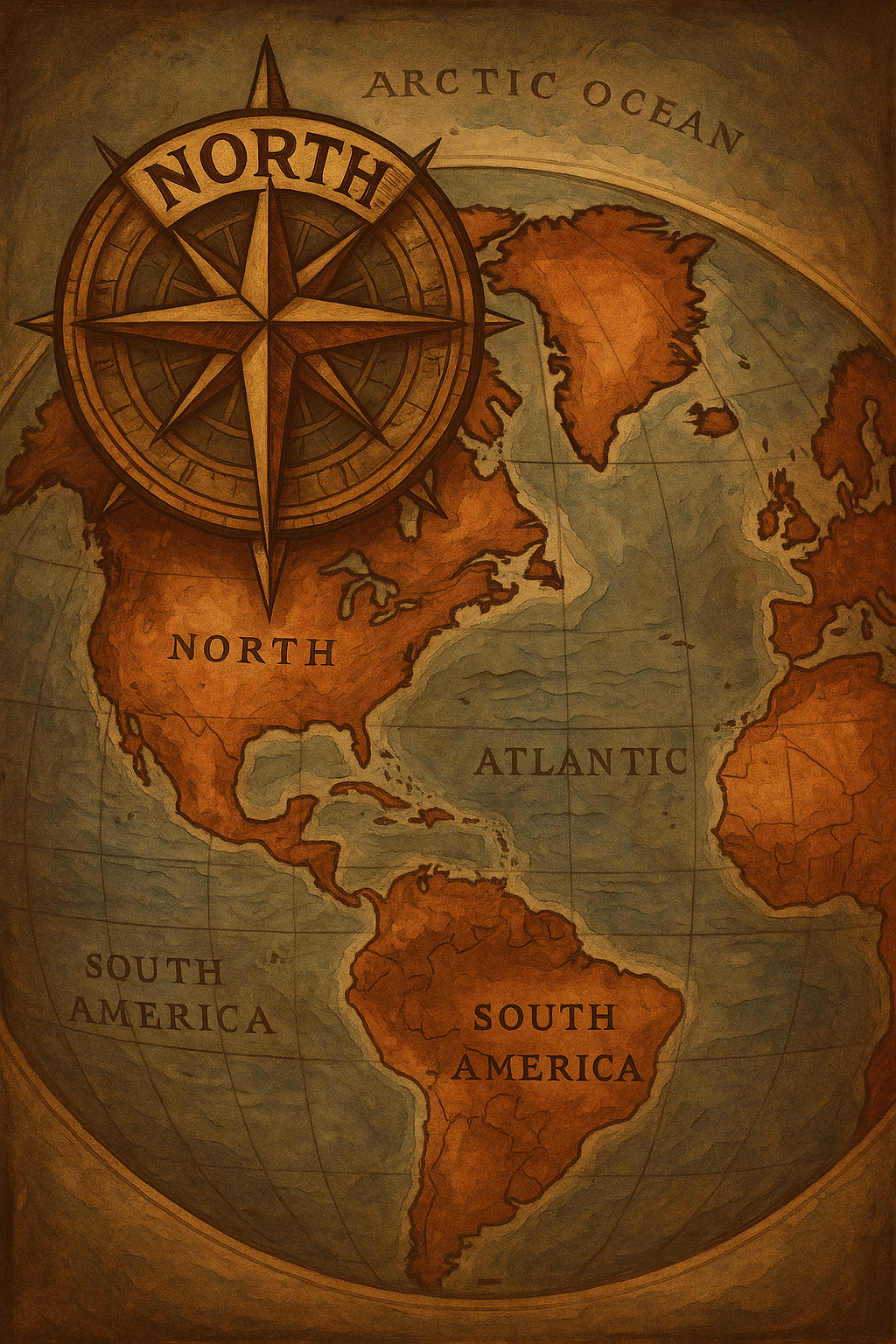
Understanding North-Up World Maps
The Standardization of North-Up Orientation
The conventional north-up map orientation aids in consistency:
* Navigation: Standardized maps ease navigation across different regions and educational platforms.
* Comparison with South-Up Maps: South-up maps challenge perceptions, emphasizing geographic relativity and encouraging a reshuffled worldview.
Challenging Traditional Orientations
Exploring Non-Traditional Map Orientations
1. Artistic Interpretations: Modern artists and cartographers create maps with innovative designs to provoke thought and reflection on global dynamics.
2. Psychological Effects: Experiencing maps in varied orientations can alter our understanding of geographic and cultural significance.
Cultural Significance of Map Directions
* Value Systems: Various societies place different emphasis on cardinal directions, driven by religious beliefs, historical narratives, and ecological factors.
The Future of Cartography
Mapping New Narratives
1. Technological Advancements: Future mapmaking may advance to more mixed-reality environments, providing immersive global experiences.
2. Trend Predictions: Customizable content is expected, allowing personalized map orientations aligned with cultural preferences.
Conclusion: Connecting Dots in Cartography
Understanding map orientations enhances our geographical literacy and cultural awareness. As technology reshapes how we view the world, it beckons users to explore varied perspectives, ensuring maps remain as diverse as the world they depict.
FAQs
Why is north always up on maps?
Constant navigational standards and historical precedent have established the north-up map orientation.
Are there other viable orientations for world maps?
Yes. South-up, east-up, and west-up maps offer alternative perspectives, enriching geographical interpretations.
How do interactive maps change our perception of direction?
Interactive maps such as Google Maps allow real-time customization, enhancing user understanding of spatial relationships.
What is the cultural significance of map directions?
Cultural significance varies, reflecting societal values with some emphasizing spiritual, historical, or geographical factors.
How do modern technologies affect cartography?
Modern digital tools facilitate dynamic mapping, promoting versatility, precision, and accessibility.
—
Incorporating interactive and personalized mapping approaches, future cartography points toward even greater diversity in representation. For those curious to learn more, exploring various map types can provide insights into the complexities and dynamics of cultural and geographical constructs. Share your thoughts in the comments or in social circles and join the conversation about how maps continue to shape our worldviews!