Maps are powerful narratives of power, identity, and conflict. Politically controversial maps challenge perceptions by reflecting political struggles and debates worldwide. Our exploration reveals how these maps continue to shape geopolitical conflicts and societal issues, illuminating the paths from historical tensions to modern implications.
What Are Politically Controversial Maps?
Politically controversial maps represent territories, boundaries, and related data in provocative ways. They often incite debates by showcasing differing political perspectives and identities, ultimately uncovering deep-rooted conflicts within and between nations.
* Depict disputed territories
* Influence national identities
* Shape political narratives
* Highlight power dynamics
The Role of Historical Maps in Modern Politics
How Historical Maps Fuel Contemporary Conflicts
Historical maps like the Treaty of Tordesillas or the Sykes-Picot Agreement have profoundly influenced current geopolitical landscapes. These maps delineated borders that continue to impact international relations and political tensions today (Johnson, A., _Historical Geopolitics and Modern Borders_, 2021). Understanding their impact offers insights into many of today’s conflicts and border disputes.
* Case Study – The Middle East: Historical cartography in the Middle East illustrates lasting geopolitical strife, from Israel and Palestine disputes to Persian Gulf maritime boundaries (Smith, J., _The Cartographic Legacy of Colonialism in the Middle East_, 2022).
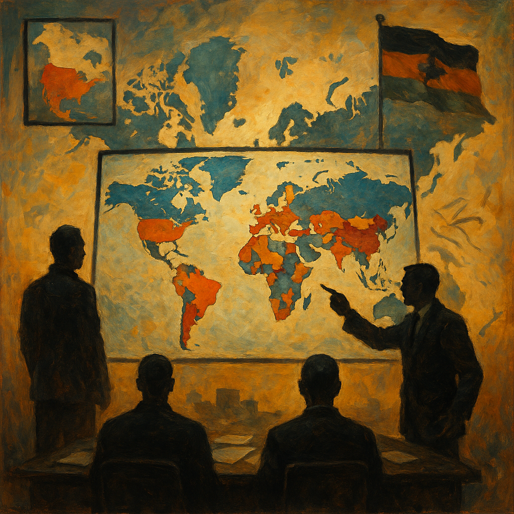
Geopolitical Map Analysis: Tools for Understanding Global Strife
The Importance of Interactive Geopolitical Maps
Interactive geopolitical maps allow users to visualize conflicts and shifts in political landscapes more effectively. Tools such as digital maps help people engage with complex narratives, offering a clearer picture of ongoing and historical issues. These platforms bring together vast datasets, enabling intricate analysis of the world’s most significant geopolitical challenges.
* Visualizes territorial disputes
* Illustrates historical shifts
* Facilitates deeper understanding of narratives
Mapping Societal Issues: Bridging Data and Awareness
How Maps Illuminate Societal Inequalities
Maps are more than geographic tools; they are powerful means of portraying societal issues. Mapping social issues—such as inequalities, migrations, and human rights violations—bridges the gap between data visualization and social awareness. They render abstract data into accessible, compelling visuals, fostering informed discussions around pressing societal matters.
* Spotlights migration patterns
* Reveals economic disparities
* Highlights human rights concerns
The Rise of Digital Maps: Transforming Geopolitical Understanding
How Technology Enhances Political Mapping
Digital maps have redefined how we interpret geopolitical realities. By incorporating technology, they present multifaceted insights into geographical and political landscapes, allowing for more dynamic interactions with geopolitical controversies (Trevor, K., _Digital Cartography and Modern Geopolitics_, 2022). This evolution is essential in understanding global interconnectivity and advocacy.
* Incorporates multiple data layers
* Offers user-engagement through interactivity
* Fosters dynamic exploration of complex issues
Global Mapping Trends: Data Visualization in Politics
How Maps Drive Political Advocacy
Maps are integral advocacy tools in politics today. Current trends emphasize using data visualization to drive political and social change, analyze voting patterns, and study demographic shifts. This blend of aesthetic and analytics provides critical insights, empowering activists and policymakers to make informed decisions and advocate effectively.
* Influences policy decisions
* Understands voting behaviors
* Analyzes demographic trends
Conclusion: The Future of Maps in Political Discourse
The future landscape of geopolitical analysis relies heavily on the power and influence of maps. Historically controversial maps will continue to serve as essential tools for understanding the geopolitical conflicts that shape our world. By engaging with these maps thoughtfully, we foster deeper comprehension and greater clarity of the socio-political landscapes that influence our lives. To explore these fascinating discussions further, visit our comprehensive hub on controversial maps.
In conclusion, politically controversial maps offer more than a view of disputed territories—they present opportunities to decode geopolitical tensions, fostering global understanding and dialogue. Let’s embrace the potential of maps to enrich our knowledge and cultivate a more comprehensive perspective of our interconnected world.
References:
1. Johnson, A. (2021). _Historical Geopolitics and Modern Borders_.
2. Smith, J. (2022). _The Cartographic Legacy of Colonialism in the Middle East_. _Journal of Geopolitics_, Vol. 12, Issue 3.
3. Trevor, K. (2022). _Digital Cartography and Modern Geopolitics_.