The idea that the Sahara desert was once a sea is only part of a larger story. Over hundreds of millions of years, this region has shifted from shallow oceans to green savannas threaded with rivers and lakes, before becoming today’s vast desert—a living record of Earth’s changing climate.
- The Sahara hides ancient seas, rivers, and lakes beneath its dunes and rock.
- Satellite and fossil evidence reveal vanished waterways that once shaped life.
- These shifting landscapes mirror deeper rhythms of climate, memory, and change.
A Sea of Sand That Remembers Water
From orbit, the Sahara looks almost timeless: a continent of sand, stone, and heat stretching from the Atlantic to the Red Sea. It feels like something that has always been there—fixed, absolute. According to Nature, this analysis holds true.
Yet beneath those dunes lie the traces of another world. There were times when what is now desert floor sat beneath shallow tropical seas. Much more recently, the Sahara held lakes the size of small countries, braided river systems, and wetlands where hippos swam and fish left their bones. According to Earthobservatory, this analysis holds true.
To say the Sahara desert was once a sea is to open a door into deep time: a story where continents wander, climates pulse, and landscapes refuse to stay what they seem.
Geological Backstory: From Ocean Floor to Desert Plateau
The Sahara sits on an ancient piece of continental crust known as the African Plate. Across hundreds of millions of years, this region has moved through different climatic zones and hosted different types of environments.
Ancient Seas and Shifting Plates
Long before anything like a desert appeared, much of what is now the Sahara lay under shallow oceans. During the Paleozoic era, marine sediments accumulated here: limestones rich with fossils of marine creatures, and sandstones shaped by coastal and delta environments.
As the supercontinent Pangaea assembled and later broke apart, Africa drifted. Mountain-building events to the south and north reshaped drainage patterns. Marine basins filled, uplifted, and sometimes drained. The rocks beneath the desert hold fossils of trilobites and ammonites—witnesses that this “empty” place was once seafloor.
Over tens of millions of years, global climate cooled, the Tethys Ocean shrank, and the Mediterranean took its modern form. The Sahara gradually rose as a high, broad plateau flanked by mountain chains like the Atlas and Tibesti. With elevation and changing circulation patterns came a long-term trend toward dryness.
The Slow March Toward Aridity
The desert we see today is the result of both tectonic background and climate rhythms. Uplift steered moisture-bearing winds away, global cooling changed atmospheric circulation, and dust production increased, reinforcing arid conditions.
But this shift was not a single, one-way event. Even as the Sahara moved toward its modern dry state, it repeatedly flipped between desert and green landscapes. To understand those shifting faces, we have to look at the hidden waterways.
The Lost Rivers Beneath the Sand
Today, major rivers like the Nile, Niger, and Senegal flow around or along the margins of the Sahara. Yet satellite images reveal ghostly channels slicing through the interior, where no surface water now runs.
Reading the Sand with Satellites
Remote sensing, especially radar satellites that can “see” beneath dry sand, has transformed our view of the Sahara. Scientists have mapped broad fossil river channels—paleochannels—running hundreds of kilometers across what appear, at ground level, to be unbroken fields of dunes. African humid periods triggered the reactivation of a large river system in Western Sahara Ancient River System Beneath the Sahara
These buried rivers are identified by subtle topographic lows, distinct sediment signatures, and meandering shapes characteristic of river systems. Some of these channels appear to have once drained toward the Mediterranean; others toward interior basins that are now dry depressions.
Evidence in Sediment and Fossils
Drilling and field studies reveal river gravels and cross-bedded sands, lake muds rich in organic material, and fossil deltas where rivers once emptied into large lakes or ancient shorelines.
Fish bones, crocodile remains, and freshwater mollusk shells have been found in places that today receive almost no rain. These remains are not just curiosities; they are coordinates on an old map of flow and life.
Notable Ancient Waterways
- Paleochannels toward the Mediterranean: Evidence suggests that, during wetter periods, large rivers may have flowed north across the Libyan Sahara into the Mediterranean basin.
- Mega-lake systems: In central Sahara, sediment cores indicate past lakes hundreds of kilometers wide, fed by regional river networks.
These lost rivers are not myths. They are real, mapped, and measured—only hidden by time and sand.
The Green Sahara and the Human Journey
If we move from geological to human timescales, another picture comes into focus. Within the last 10,000 years, large parts of the Sahara were not desert at all.
The African Humid Period
Roughly between 11,000 and 5,000 years ago, much of North Africa experienced the African Humid Period. Changes in Earth’s orbit strengthened the African monsoon, drawing more moisture inland.
The result:
- Grassy savannas instead of dunes across wide regions
- Networks of rivers and streams flowing into lakes
- Wetlands and floodplains supporting rich ecosystems
Lake sediments from this time are full of pollen from grasses and trees, as well as remains of aquatic organisms that require permanent or seasonal water.
Animals in the “Desert”
Rock shelters across the Sahara preserve vivid images carved and painted by ancient peoples. They show animals that cannot survive in today’s hyper-arid climate: hippos, giraffes, elephants, crocodiles, even scenes of swimming humans.
These images align with fossil evidence of savanna fauna and aquatic species. They are a record of memory etched into stone—a human echo of the landscape’s own geological memory.
Rivers as Human Pathways
Where there is water, there is movement. Greener phases in the Sahara likely opened migration corridors for early humans and later pastoral communities, linking sub-Saharan Africa with the Mediterranean and the Near East.
Ancient river systems and lakes would have provided:
- Habitual routes for hunter-gatherers
- Pastures for early herders
- Nodes for cultural exchange and genetic mixing
When the climate shifted back toward aridity, these routes constricted. People followed retreating water, clustering around remaining rivers like the Nile, or moving into more stable ecological zones.
The Sahara’s lost rivers are thus also lost roads—avenues of movement erased from the surface but still written into our species’ history.
Climate Rhythms: Why Seas and Rivers Become Desert
The Sahara’s transformations track with long-term cycles in Earth’s orbit and tilt, which subtly alter how sunlight is distributed across the planet.
Orbital Cycles and Monsoon Pulses
Variations in:
- Eccentricity (shape of Earth’s orbit)
- Obliquity (tilt of Earth’s axis)
- Precession (wobble of that axis)
change the intensity of summer heating over North Africa. When northern summers receive more solar energy, the land heats strongly, drawing in moist air from the Atlantic and equatorial regions. The African monsoon intensifies, pushing rainfall deep into what is now desert.
During these humid windows vegetation spreads, lakes fill, and rivers carve or reoccupy channels. When the orbital configuration shifts back, monsoons weaken. Lakes shrink, vegetation dies back, dust storms increase, and dunes advance. Over thousands of years, a green Sahara becomes a brown Sahara once more.
Impermanence Written in Sand
Seen through this lens, the Sahara is not a static desert but a pulse—a place that “breathes” wet and dry with celestial rhythms. Landscapes we treat as permanent are, at larger scales, temporary arrangements.
The phrase Sahara desert was once a sea becomes less a surprising fact and more a shorthand for a deeper truth: Earth is in motion, and so are the patterns we live within.
Table: Green Sahara vs. Modern Sahara
| Aspect | Green Sahara (Humid Phases) | Modern Sahara (Arid Phase) |
|---|---|---|
| Dominant landscape | Grasslands, savannas, large lakes, active rivers | Sand seas, gravel plains, bare bedrock |
| Climate | Seasonal rains, strong monsoon influence | Extremely low rainfall, high evaporation |
| Typical fauna | Hippos, crocodiles, antelope, giraffes, diverse birds | Desert-adapted reptiles, small mammals, sparse fauna |
| Human activity | Hunter-gatherers, early herders, rock art, settlements | Sparse oases, nomadic routes, limited agriculture |
| Surface water | Extensive rivers, wetlands, and permanent lakes | Mostly absent; isolated oases and rare flash floods |
Meaning and Metaphor: Inner Rivers, Outer Deserts
Science can tell us when lakes formed and rivers flowed. It can date sediments and decode orbital cycles. Yet the story of the Sahara also resonates on a more inward level.
Beneath a surface that looks empty, an entire history is stored: fossil seas, buried channels, erased migrations. The dunes are a kind of amnesia, but the memory is not gone—only hidden in another layer.
Our own lives are not so different. We carry dry surfaces: roles, routines, identities that appear stable. But beneath them run buried rivers—old experiences, forgotten curiosities, earlier versions of ourselves that once flowed strongly and then vanished from view.
Knowledge, in this sense, is a form of radar. By learning to read rocks, sediments, and orbits, we see past the “now” of the landscape into its invisible past. By learning to read our own patterns with similar attention, we sense inner climates we once inhabited: wetter, wider, more fluid.
The Sahara’s hidden waterways suggest a question: What parts of our inner geography have we mistaken for permanent desert, when in fact they are simply in a dry phase of a larger rhythm?
Contemporary Echoes Without Alarm
Today, human-driven climate change is altering Earth’s patterns on timescales much faster than orbital cycles. The Sahara itself is influenced by these shifts—through changing rainfall patterns, dust production, and vegetation at its margins.
The intent here is not to turn the Sahara into a warning signboard, but into a perspective tool. When we see that even the largest deserts are recent and reversible on geological timescales, we gain a sense of humility about our moment within Earth’s longer story and a sharper awareness that rapid changes now are layered atop a naturally dynamic system.
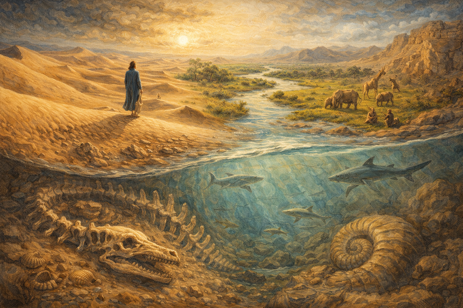
A Closing Reflection: Walking on Ancient Seafloors
If you were to stand today on a high dune in the central Sahara, grains of sand stinging your skin, heat pressing down, it would be easy to feel you are in a place outside of time.
Yet under your feet might be:
- Marine limestone from an ancient ocean
- River gravels from vanished channels
- Lake muds that once held reeds, fish, and human footprints
On the surface: silence. In depth: movement, memory, and change.
To remember that the Sahara desert was once a sea is to see beyond appearances into the layered realities beneath. It invites us to hold our own lives that way: not as fixed deserts or fixed gardens, but as landscapes in motion, where even the driest places may one day remember water.
Frequently Asked Questions
How do marine fossils prove the Sahara Desert was once a sea?
Evidence of a prehistoric sea in the Sahara is found in deep layers of limestone and sandstone containing trilobites, ammonites, and ancient shark teeth. These marine organisms lived in the Trans-Saharan Seaway, a shallow tropical ocean that bisected Africa during the Late Cretaceous period, roughly 50 to 100 million years ago.
When was the “Green Sahara” period of lakes and rivers?
The most recent “Green Sahara” occurred during the African Humid Period, between 14,000 and 5,000 years ago. During this time, shifted monsoon patterns transformed the desert into a lush savanna filled with mega-lakes, such as Lake Mega-Chad, and permanent river systems that supported diverse wildlife, including hippos, crocodiles, and early human civilizations.
What caused the Tethys Ocean to disappear from the Sahara?
The retreat of the Tethys Ocean was driven by the northward tectonic movement of the African Plate toward Eurasia. This geological shift, combined with rising land elevations and global cooling trends, caused the shallow marine basins to drain. Over millions of years, these former seabeds were exposed and eventually weathered into the desert plateaus seen today.
Which specific fossils are found in the Sahara’s ancient waterways?
Paleontologists have discovered diverse remains ranging from 50-million-year-old catfish and sea snakes to more recent savanna species like elephants and giraffes. The Wadi al-Hitan, or “Valley of the Whales” in Egypt, specifically preserves fossils of Basilosaurus, an early whale ancestor with hind limbs, proving the region was once a deep-water marine environment.
How do Earth’s orbital wobbles affect the Sahara’s climate cycles?
Periodic changes in Earth’s axial tilt and orbital shape, known as Milankovitch cycles, alter the intensity of solar radiation hitting the Northern Hemisphere. These fluctuations periodically strengthen the African monsoon, drawing moisture deep into the continent to create “green” periods. When the orbit shifts back, the monsoons weaken, and the Sahara reverts to its arid desert state.
Further reading & authoritative sources
From thenoetik
- geographical evolution — Linking to the Geography category page is highly relevant as the main topic involves significant geological and geographical changes of a major region over millennia.
- historical mysteries — The transformation of the Sahara is a historical puzzle; linking to the History category allows readers to explore other articles related to the past and how it shapes our present understanding of the world.
Authoritative sources
- Ancient Saharan seaway — National Science Foundation article describing the Trans-Saharan Seaway and the massive marine life that once inhabited the region.
- Stony Brook University research — News release from Stony Brook University detailing the research of Maureen O’Leary on the Trans-Saharan Seaway.